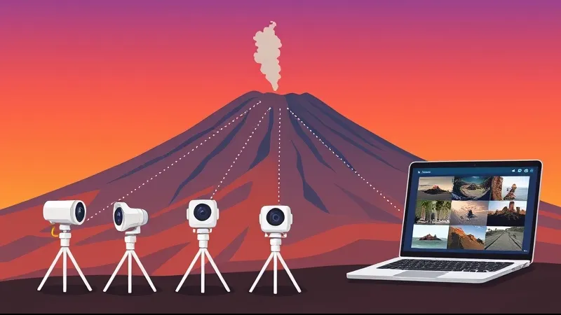
Etna webcams: sources, timestamps and image limits
How to compare Etna webcam sources, visible and thermal images, timestamps and INGV bulletins without treating a camera as an access forecast.
Table of Contents
Start with the source and timestamp
Identify who operates the camera, the sector it shows and the time of the image. Our webcam page embeds a Vedetta feed; the INGV site provides its own monitoring resources. An image branded “LIVE” may still buffer, stop or display an older frame. Check that the timestamp advances before relying on its freshness.
Visible and thermal images
A visible-light camera records the scene as affected by light, exposure, clouds and distance. Incandescence can be visible at night even without a thermal sensor. A thermal image represents radiation through the instrument’s scale and settings; its colours should be read with the legend. Scientific instruments used to study gas are not interchangeable with a tourist webcam, and not every monitoring product is a public live stream.
What a plume can and cannot tell you
A pale, dark or coloured plume is an observation, not a diagnosis. Lighting, humidity, viewing direction and camera settings affect its appearance. A single colour does not establish composition, gas concentration or safety. Read the relevant INGV bulletin rather than inferring an alert from the image.
Compare views without inventing coverage
A camera sees one sector. A flank, crater or lava flow may lie outside the frame or behind cloud. If an image is grey, dark or unavailable, it does not prove that the volcano is inactive or that a trail is closed. Compare the published location and time of available views; use the operator’s own labels rather than assuming camera codes or coordinates.
The tremor graph is a separate measurement
The official INGV chart identifies the stations and period shown. “Mean amplitude” is not automatically an average of all stations. A low or stable trace alone does not exclude hazards, establish access or predict a quiet day. Monitoring combines several kinds of evidence; a graph is not a countdown to an eruption.
Using images before an excursion
A webcam can add a view of cloud and visibility within its frame. It cannot replace forecasts at the route’s altitude, current restrictions, terrain checks or the guide’s assessment. Check the chosen tour’s programme and equipment even if the image looks clear. Do not use the camera as a reason to approach an active area.
If the player does not work
Check the operator and timestamp, try a supported browser and consult the linked official information. A frozen frame is not a current observation. Respect the source’s terms before copying or reusing images; public viewing does not establish a right to redistribute them.
Compare the three private tours · Weather · Webcam
Sources
Before You Book: Quick Planning Checklist
- Check updated weather and volcanic activity conditions for your travel dates.
- Confirm meeting point, start time, and transfer duration.
- Compare routes, practical details and availability, then use the booking calendar on your chosen tour page.
- Read local safety guidance before excursions.