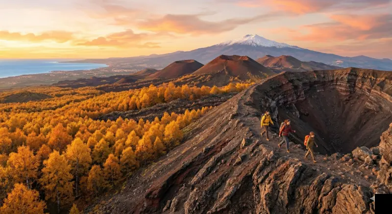
Monti Sartorius Etna Hike: The Most Scenic Easy Trail on the North Side
What makes the Sartorius craters loop the best low-difficulty route on Mount Etna, and what to expect on the ground.
Table of Contents
Monti Sartorius is a walk among the 1865 craters, birch woodland and old lava fields on Etna’s northeast side, at roughly 1,700 m. Its lower altitude makes it a different experience from the summit trek; access and suitability still depend on restrictions, weather, terrain and the group.
This is not a consolation route for people who cannot handle higher trails. It is a different kind of Etna experience entirely. The Sartorius craters were formed during the 1865 lateral eruption, and the trail passes through a landscape that shifts from dark basalt lava fields to one of the densest Etna birch forests on the mountain. The contrast is sharp, and it is one of the few places on Etna where you can walk at a relaxed pace and still absorb the volcanic geology without rushing.
Choose Sartorius for volcanic landforms and woodland rather than maximum altitude. Compare the walking programme with the needs of every participant, including children and people with mobility limitations.
This guide covers the trail in practical terms: what the terrain is really like, what you will see, how hard it actually is, and what most visitors underestimate before they arrive.
Quick answer
The Sartorius guided walk lasts 1–3 hours according to the selected route; the full loop is about 4 km with roughly 100 m of elevation gain. Our minimum age is 5. This is an easy-rated walk on uneven natural ground, not an accessible paved path or a guarantee of suitability for everyone.
Where Monti Sartorius is located
The trailhead is on the north side of Etna, accessible from the road that connects Linguaglossa to Piano Provenzana. From Piano Provenzana, the drive follows a forest road south. From Linguaglossa, the approach is a short drive through the Etna pine forests.
This is not the side most tourists visit first. The south side — with Rifugio Sapienza, the cable car, and the 4x4 buses — draws most of the traffic. The north side is quieter, more forested, and operationally different. There are no cable cars or large-scale infrastructure. The trails here start lower and feel more immersed in the mountain environment.
GPS coordinates for the trailhead: approximately 37.79°N, 15.04°E. Mobile signal can be unreliable on some stretches, so download offline maps before arriving.
Why this area of Mount Etna matters
The 1865 eruption that created Monti Sartorius was a lateral event — magma broke through the flank rather than erupting from the summit. This left a chain of small cinder cones aligned along a fracture, and you can walk directly along their rims today. It is one of the clearest examples of a fissure eruption visible on foot anywhere on Etna.
What makes Sartorius geologically interesting is also what makes it visually striking. The craters are small enough to see their full shape from the rim. The lava flows are old enough to show early colonisation by lichens and pioneer vegetation, but recent enough that the basalt textures are still well-defined. This is volcanic succession on a human timescale — not millions of years, but about 160.
The Etna birch (Betula aetnensis) forest nearby is endemic to this volcano. It does not grow on any other mountain in the world. Walking through it is quiet, sheltered from wind, and a sharp contrast to the exposed lava terrain just minutes away. Mount Etna is a UNESCO World Heritage Site, and the Sartorius area is one of the zones where that designation feels most tangible.
What you actually see on the trail
The trail is a loop. Most groups walk it counterclockwise, starting through the birch woods and then opening onto the crater area.
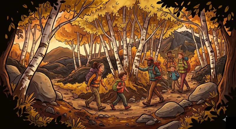
- Birch forest section: Shaded, quiet, soft ground underfoot. The trees are not tall — this is mountain birch adapted to volcanic soil and altitude. In autumn the foliage turns gold and the contrast against dark lava is particularly strong.
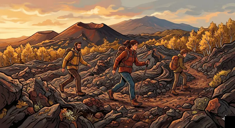
- Lava field crossing: The ground shifts to rough basalt. You walk on old aa and pahoehoe flows, and your guide can point out the difference in texture. Footing is stable but uneven. Ankle-supporting shoes help here.
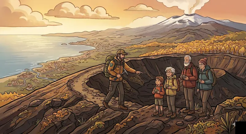
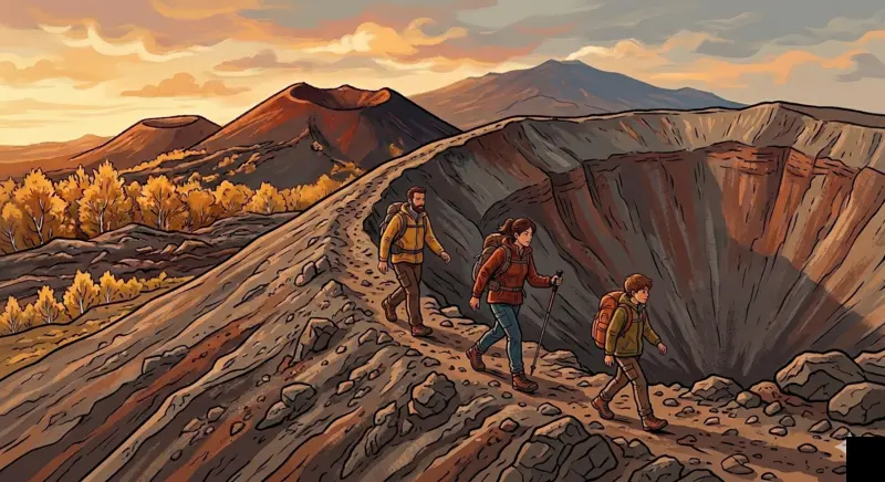
- Crater rims: The 1865 cones are small, roughly 30 to 50 metres across. You can walk along the edge and look into the hollow interior. The geometry is clean — these are well-preserved volcanic features.
- Panoramic views: On clear days, the view extends northeast toward the Ionian coast and southeast toward the Valle del Bove. You can also see the summit craters from a distance, which provides a useful sense of scale for how large Etna actually is.
Trail conditions and difficulty
The usual route has about 100 m of elevation gain and is rated easy. Loose volcanic ground and weather can still increase the effort; check the actual programme and current conditions.
That said, the surface is volcanic. Parts of the trail cross rough lava with loose scoria underfoot. This is not pavement. Walking on volcanic gravel is slower and more tiring than it looks — your feet sink slightly with each step, and the ground surface is irregular. Many visitors underestimate this. Flat trainers or sandals are not adequate.
| Detail | Info |
|---|---|
| Difficulty | Easy |
| Starting altitude | 1,667 m |
| Highest point | 1,768 m |
| Elevation gain | ~100 m |
| Starting point | Monti Sartorius trailhead, Etna North |
| Best season | May to November |
| Suitable for | Families and beginners; our tour from age 5, subject to suitability |
| Equipment | Hiking shoes, layers, water, sun protection |
| Guide required | Check current restrictions; guided tour available |
Who this hike is for
Monti Sartorius works well for several profiles:
- Families: our Sartorius tour accepts children from age 5. Consider their ability to walk on uneven ground and follow instructions; the age threshold is not a guarantee that every child will manage the whole loop.
- Mixed-ability groups: discuss walking distance, pace and relevant limitations before booking. A flexible pace does not remove the need for a suitable route and return time.
- Nature-focused hikers: If you are interested in botany, geology, or ecology rather than summit endurance, this is the right trail.
- Visitors combining with other Etna activities: The short format (1–3 hours) leaves room to combine with a visit to Piano Provenzana or a different Etna excursion on the same day.
This is not the right route if you want a physical challenge. For that, consider the summit craters hike.
Best season and weather conditions
The trail is accessible from roughly May to November. In winter and early spring, snow can cover the area above 1,500 metres on the north side, making access impractical without snow equipment.
Summer (June through September) is the most reliable period. Days are long, the forest provides shade, and temperatures at 1,667 m are noticeably cooler than the coast — typically 8 to 12 °C lower than Catania. This makes Sartorius a good option on hot days when coastal heat makes lower hikes unpleasant.
Autumn is excellent. The birch trees change colour, the light is softer, and the area is very quiet. October is particularly good.
Fog, rain, wind, snow and ice can affect navigation and footing even on this lower route. Check the weather forecast and the guide’s assessment before departure; poor visibility is not only a photography issue.
Safety considerations
The route is below the summit zone, but preparation and attention remain necessary. Consider these practical points:
- Footing: lava rock can be sharp or loose. Wear shoes with grip and take care on uneven ground.
- Sun exposure: The crater area has no shade. At 1,700 m and above the UV intensity is higher than at sea level, and wind can mask how much sun you are getting. Bring sunscreen, hat, and sunglasses.
- Wind: The north side can be windy, especially in the open crater zone. Carry a windbreaker even in summer.
- Hydration: There are no water sources on the trail. Bring at least 1 litre per person.
- Mobile signal: Patchy. Do not rely on your phone for navigation. A guide or downloaded offline map is essential.
Sartorius is separate from the summit zone. Check the restrictions applicable to the trail and date rather than assuming an exemption because of its altitude. INGV bulletins describe activity; they do not by themselves authorise access.
Practical information
Getting there: Drive to the Monti Sartorius trailhead from Linguaglossa or from Piano Provenzana (a short forest road drive south). There is a small parking area at the trailhead. No public transport reaches this point — a car or organised transfer is necessary.
Facilities: There are no services at the trailhead — no bar, no toilet, no shop. Bring everything you need. Piano Provenzana has a bar and parking facilities, so plan to stop there before or after.
Cost: The trail itself is free to access within the Etna Park. If you book a guided Sartorius walk, the guide fee covers geological interpretation, route management, and group pacing.
Pace: With a guide, stops for geological explanation and observation are built in. Self-guided walkers may move through the loop faster but miss most of the geological detail.
Expert insight
- People wear the wrong shoes. The lava section is short but rough. Trainers with thin soles make it uncomfortable. Proper hiking shoes with ankle support make the difference between enjoying the walk and focusing on your feet.
- Even in summer, bring a warm layer and windproof jacket appropriate to the forecast. A mild coastal morning does not describe the conditions on this route.
- The geological features here are subtle. Without context, the craters look like small hills. With a guide explaining the eruption mechanics, the fissure alignment, and the lava flow chronology, the landscape reads completely differently.
- Photography is best in the morning or late afternoon. The midday sun flattens the lava textures and washes out the crater shapes. If you care about photos, time your visit accordingly.
Why visiting with a local guide makes a difference
A guide explains the crater alignment, lava textures and vegetation, and adapts the walk to the group and conditions. For an independent visit, check access and your ability to navigate the route; waymarking alone does not establish suitability.
A certified volcanological guide can explain why the craters are aligned the way they are, what the different lava textures mean, how the birch forest colonised the lava, and what the eruption of 1865 changed in this part of the mountain. These are things you will not find on trail signs or in a guidebook.
A guided walk can include stops to observe craters, rocks and plants, adapting explanations and pace to the group. Leave rocks and natural material in place and respect park rules.
Frequently asked questions
Is the Monti Sartorius hike suitable for children?
The minimum age for our tour is 5. Assess walking ability and the conditions with the guide before booking; the ground is uneven. Carrying a younger child is not an exception to our booking requirement.
Do I need hiking boots for Monti Sartorius?
Proper hiking shoes with ankle support are strongly recommended. Parts of the trail cross rough lava rock where thin-soled shoes offer poor grip and no protection. Trail running shoes with good tread can work, but sandals and flat trainers are not suitable.
Can I visit Monti Sartorius without a guide?
Sartorius is separate from the summit zone. Check the restrictions applicable to the trail and date rather than assuming an exemption because of its altitude. INGV bulletins describe activity; they do not by themselves authorise access.
What should I wear for this hike?
Layers. Even in summer, the north side of Etna at these altitudes can be cool and windy. Bring a base layer, fleece, windbreaker, and sun protection. Long trousers are more comfortable than shorts on the lava sections.
How do I get to the Monti Sartorius trailhead?
By car from Linguaglossa or from Piano Provenzana (a short drive along the forest road south). There is no public transport. A small parking area is available at the trailhead.
Is Mount Etna safe in the Sartorius area?
The 1865 craters are away from the active summit vents, but this does not remove weather, terrain or access constraints. Good preparation helps manage risk; it cannot guarantee safety.
Can I combine Monti Sartorius with other Etna activities?
Yes. The short format (1–3 hours) leaves time for other activities. Many visitors combine it with a stop at Piano Provenzana, a drive through the Etna north forests, or a different guided Etna tour on the same day.
When is the best time to hike Monti Sartorius?
Spring, summer and autumn offer different vegetation and light. Snow or ice may affect winter and spring access; availability must be checked for the actual date. A month on the calendar does not guarantee an open road or a practicable route.
Sources
- INGV — Osservatorio Etneo — volcanic monitoring and scientific bulletins.
- Ente Parco dell'Etna — official protected area authority; trail access rules and biodiversity information including Betula aetnensis.
- UNESCO World Heritage — Mount Etna (site 1427) — World Heritage listing documenting Etna's exceptional geological and ecological value.
- Collegio Regionale delle Guide Alpine e Vulcanologiche Siciliane — official register of certified Alpine and Volcanological Guides.
Before You Book: Quick Planning Checklist
- Check updated weather and volcanic activity conditions for your travel dates.
- Confirm meeting point, start time, and transfer duration.
- Compare routes, practical details and availability, then use the booking calendar on your chosen tour page.
- Read local safety guidance before excursions.